- Aasiya Niaz
- 4 Minutes ago
Super Typhoon Sinlaku: strongest storm on Earth is closing in on US
-

- Web Desk
- 2 Minutes ago
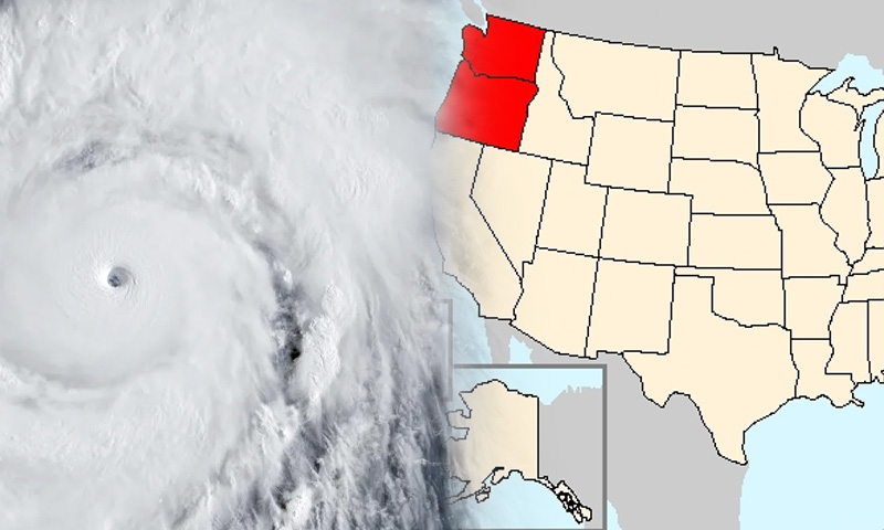
The strongest storm on Earth so far this year is now bearing down on US territory in the Western Pacific, after a period of explosive and record-setting intensification over unusually warm Pacific waters.
Super Typhoon Sinlaku reached peak strength over the weekend with sustained winds estimated between 180-185 mph, making it one of the most intense tropical cyclones ever recorded so early in the calendar year. At its peak, it briefly ranked as the second-strongest typhoon of 2026 and the most powerful system on the planet this year, after undergoing a rapid intensification phase fueled by exceptionally warm ocean temperatures and low wind shear.
Meteorologists say the system strengthened by roughly 75 mph in just 24 hours, a dramatic burst of intensification as it tracked over waters east of Guam. The storm is now expected to gradually weaken slightly but remain extremely dangerous as it approaches the US Northern Mariana Islands, putting communities in Saipan, Tinian, and Rota directly in its projected path.
Beyond its intensity, Sinlaku is also notable for its timing. It is one of only a handful of Category 5-equivalent typhoons ever recorded between January and April – a group that includes just ten storms in modern records. With two Category 5 systems already forming globally in 2026, scientists note that such early-season extreme storms remain rare, though long-term data shows an increase in the frequency of the most powerful tropical cyclones in recent decades.
Authorities across the Northern Mariana Islands have activated emergency measures, with flight cancellations, school closures, and shelters opened as residents brace for impact. While wind damage is expected to be severe, forecasters warn that the greater threat may come from heavy rainfall, storm surge, and flooding – hazards that could persist even after the storm’s center passes.
You May Also Like