- Web Desk
- Mar 24, 2026
Heavy rains in store after longer-than-usual summer
-

- Web Desk
- Oct 01, 2025
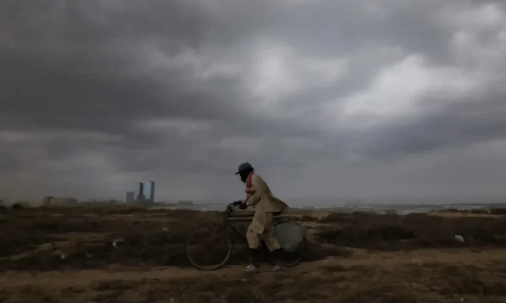
ISLAMABAD: After a longer-than-usual summer, day and night temperatures are likely to drop significantly in the coming days as the Pakistan Metrological Department (PMD) on Wednesday warned of flash floods in hilly areas and urban flooding in places like Rawalpindi, Gujranwala, Lahore, Sialkot and Faisalabad due to heavy rains.
The forecast was issued as people are still experiencing higher-than-average temperatures although the monsoon withdrew around three weeks ago and despite the advent of October — a month associated with pleasant weather.
Pakistan saw very little rains in last winter and early start of summer this year which brought multiple punishing heatwaves. Later, the monsoon season started on time but caused widespread destruction after record-breaking rains in the catchment areas of Chenab, Ravi and Sutlej.
Read more: Third-hottest July generates heatwaves, floods, droughts
It is certainly a sign of disrupted weather patterns amid the climate change — a phenomenon responsible for rising temperatures, erratic rains and longer summers around the globe.
On Tuesday, Japan’s weather agency said southern Okinawa region sweated through its hottest September on record after the entire country experienced its warmest recorded summer.
Separately, a study showed that Switzerland’s glaciers have lost 24 per cent of their volume over the past decade, with researchers warning that accelerated melting in 2025 brought ice loss close to record levels.
Read more: Hottest summer in China since 1961, longest rainy season its north
A COMBINATION OF WEATHER SYSTEMS
What are reasons behind this welcome change in the shape of much-needed rains?
The PMD analysis shows it is a combination of weather systems.
It is says a well-marked low-pressure system (WML) is presently located over the Gulf of Kutch, resulting in moist currents penetrating into Sindh region with Moist currents from the Bay of Bengal also likely to penetrate into upper Punjab from Wednesday night.
Meanwhile, moist currents from both the Bay of Bengal and the north Arabian Sea are expected to strengthen between Oct 4 and 6.
Simultaneously, a fresh western disturbance — also known as westerly — is expected to approach the upper parts of Pakistan from Tuesday night. It is likely to intensify from Oct 3 and may persist until Oct 7.
FORECAST
The PMD says rain and windstorm/thunderstorm/hailstorm are expected at isolated places in upper Punjab from Wednesday night to Oct 3. However, most parts of Punjab will receive widespread rains with scattered heavyfalls Oct 4 to 6.
In the case of Khyber Pakhtunkhwa, widespread rain and windstorm/thunderstorm with scattered heavyfalls/hailstorm are expected from Oct 2 to 7.
For Kashmir and Gilgit-Baltistan, rain and windstorm/thunderstorm are expected at isolated places from Oct 2 to 3, becoming widespread with the threat of hailstorms from Oct 4 to 7.
The southern and southeastern parts of Sindh will get rain and windstorm/thunderstorm with isolated heavyfalls from Wednesday night to Oct 3.
However, the PMD says northeastern Balochistan receive isolated rain and windstorm/thunderstorm from Oct 4 to 6.
You May Also Like