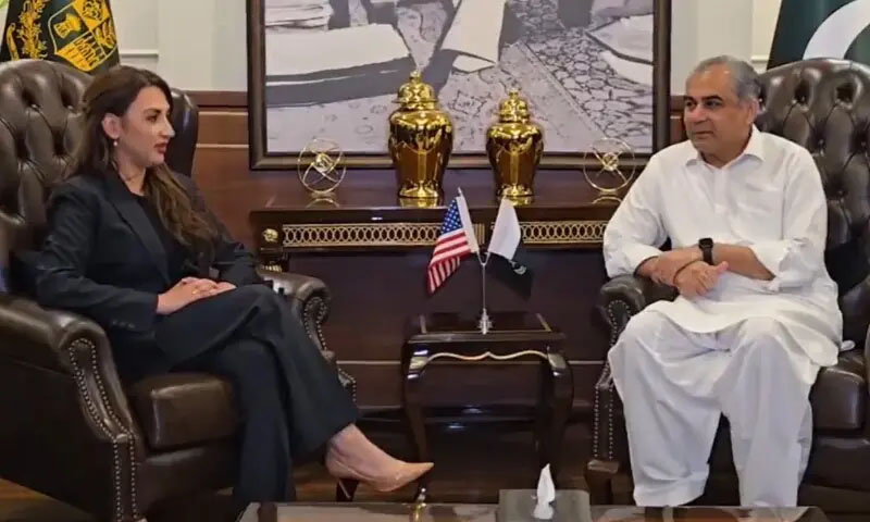
- Web Desk Zahid Gishkori
- 8 Hours ago
Israel shares map showing J&K part of Pakistan
-

- Web Desk
- Jun 14, 2025
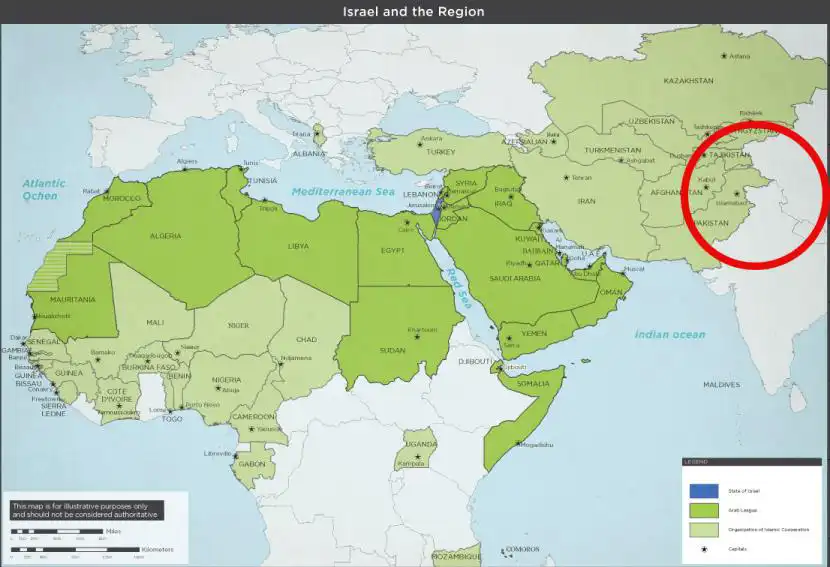
ISLAMABAD: The Israel Defence Forces (IDF) have shared a map on social media depicting Jammu and Kashmir (J&K) as part of Pakistan, sparking strong reaction from India.
The map was part of a tweet aimed at highlighting Iran’s missile reach across multiple regions amid heightened tensions between Tehran and Tel Aviv.
Shared late Friday, the graphic featured red concentric circles extending from Iran into several countries, including India, Russia, and China—meant to illustrate the alleged scale of Iranian threats.
However, the depiction of Jammu and Kashmir (J&K) on the map by Israel triggered backlash from Indian social media users, who accused the IDF of undermining India’s “sovereignty”.
In response, the Israeli military clarified:
“This post is an illustration of the region. This map fails to precisely depict borders. We apologise for any offence caused by this image.”
Pakistan has always maintained that Jammu and Kashmir is not an integral part of India, a region recognised by the United Nations as disputed territory since 1948. Pakistani observers noted that Israel’s original map echoed global concerns about India’s unilateral claims over the region.
This is not the first time Israel has found itself in hot water over similar representations. In 2024, Tel Aviv had to remove a map from an official platform after showing Jammu and Kashmir in a disputed format.
Earlier, in 2021, Twitter (now X) and the World Health Organisation (WHO) also faced criticism for maps that contradicted India’s territorial claims—Pakistan had then defended the maps as being more aligned with international law.
You May Also Like