
- Web
- Mar 18, 2026
6.9-magnitude earthquake hits off Papua New Guinea coast
-

- AFP
- Apr 05, 2025
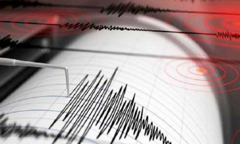
NEW BRITAIN ISLAND: A strong 6.9-magnitude earthquake struck Saturday morning off the coast of Papua New Guinea’s New Britain Island, the United States Geological Survey (USGS) said.
The shallow quake, at a depth of 10 kilometers, was forecast to produce tsunami waves of one to three metres, according to an advisory from the US Pacific Tsunami Warning Center.
Also read: Israeli troops expand ‘security zone’ in northern Gaza
Smaller tsunami waves of less than 0.3 metres were also forecast for some parts of neighbouring Pacific nation the Solomon Islands.
The earthquake struck at 6:04 am local time and was centred about 194 kilometres southeast of the nearest major town Kimbe.
Marolyn Simbiken, a receptionist at Kimbe’s Liamo Reef Resort, said so far she had not seen any damage.
“We did feel the earthquake here,” she told AFP.
“But there’s not big damage. Nothing was damaged here and there was no evacuation.”
Walindi Plantation Resort worker Barbara Aibilo she felt a “slight shake”.
Two smaller quakes, with preliminary magnitudes of 5.1 and 5.3, afterwards struck near the same patch of sea, according to the USGS.
Read more: Wikipedia must remove India content deemed defamatory, court rules
Earthquake and other seismic activities are common in Papua New Guinea, which sits on top of the seismic “Ring of Fire” — an arc of intense tectonic activity that stretches through Southeast Asia and across the Pacific basin.
Although they seldom cause widespread damage in sparsely populated areas, they can trigger destructive landslides.
You May Also Like